



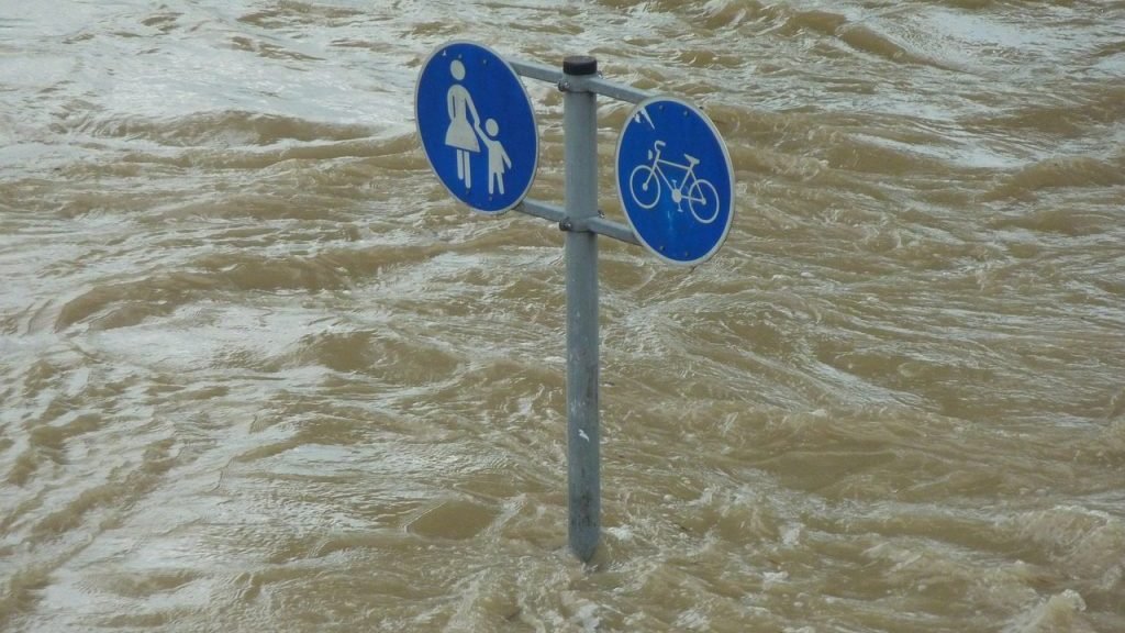
Alberta’s flood resilience projects have been put to a significant test by severe weather in 2026, with the provincial government saying its investments in flood mitigation have helped protect residents from river flooding and limit damage across affected communities.
Multiple heavy rainfall events, including historic levels of precipitation in some areas, combined with a challenging spring breakup of ice cover on northern rivers, have tested Alberta’s multi-level flood mitigation strategy. According to a government release, the measures have helped prevent serious damage to homes, businesses and critical infrastructure.
The work has been supported through the $125-million Drought and Flood Protection Program, launched in 2024.
“Since the 2013 southern Alberta floods, Alberta’s government, local emergency managers and Albertans now have better tools and information to deal with rising water levels and flooding,” the release states. “There is also more storage available to reduce peak flows and strategically placed flood barriers to protect vulnerable areas.”
In Calgary, the Springbank Off-stream Reservoir was used for the first time to divert high flows from the Elbow River upstream of the city. Updated flood maps now indicate a substantially lower flood risk along the Elbow River, reflecting the impact of the Springbank project and other mitigation initiatives.
The Ghost Reservoir on the Bow River was also deployed several times to reduce river flows moving through Calgary.
Further west in Canmore, the Cougar Creek Dam – a mountain debris flood retention structure supported by approximately $46 million in provincial funding, captured debris and excess water, helping reduce the force of high flows.
Other debris mitigation structures on nearby Exshaw Creek, Heart Creek and Jura Creek were also activated during the severe weather events.
In Fort McMurray, recently updated flood mapping, including dedicated mapping focused on ice jams, helped guide the response to a difficult spring breakup on the Athabasca and Clearwater rivers.
The province said a $661,000 investment in flood mapping enabled the community to better prepare for and respond to this year’s ice jam. Under similar water levels in 1997, such conditions resulted in severe flooding.
Alberta is also continuing to expand its flood mapping efforts. Currently, 850 kilometres of flood mapping is underway as the province works toward its target of completing 3,000 kilometres of new or updated mapping by 2028.
Meanwhile, several additional flood resilience projects remain in either the design or construction phase. These include:
-
$34.3 million for the Horsefly spillway in the Municipal District of Taber;
-
$5.25 million for flood protection at the Rossdale and E.L. Smith water treatment plants in Edmonton;
-
$2.87 million to address overland flooding in Sexsmith;
-
$3.25 million for the wastewater treatment plant flood protection project in Medicine Hat;
-
$4.07 million for the implementation of Stafford Lake stormwater infrastructure and monitoring in Brooks.
With extreme weather events continuing to challenge communities across the province, Alberta says the performance of its flood resilience infrastructure in 2026 demonstrates the importance of continued investment in flood protection, mapping and mitigation projects.